
Services
Supporting Land Use, Design and Built Form

Construction / Engineering Surveying
Construction and engineering surveying is a core service of CK Maloney Surveying, providing the precision and certainty required to deliver complex projects successfully. We support contractors, engineers and developers with accurate set‑out, control establishment, verification surveys and as‑built documentation, ensuring works are constructed exactly as designed. Our team understands the technical and program pressures of live construction environments and delivers reliable data that supports efficient, informed decision‑making on site.
Our structured approach, experienced survey teams and robust quality processes enable us to work seamlessly across projects of all scales — from bulk earthworks and civil infrastructure to high‑rise structures and commercial developments. By prioritising accuracy, coordination and timely delivery, we help minimise risk, reduce rework and keep construction programs moving with confidence from commencement through to completion.
Land Development & Subdivision
Our licensed land development and subdivision services provide end‑to‑end surveying support for projects ranging from small residential subdivisions to large, multi‑stage developments. We manage the full subdivision process, including boundary definition, design coordination, compliance with planning conditions, and preparation of survey documentation required for approvals. With a strong understanding of Western Australian statutory requirements, we help ensure subdivisions progress smoothly, efficiently and in line with regulatory expectations.
Through structured project coordination and experienced licensed surveyors, we work closely with developers, planners and consultants to deliver clear, accurate outcomes from initial concept through to title creation. Our proactive approach helps identify and resolve issues early, reducing delays and providing certainty at each stage of the subdivision process. The result is a streamlined pathway to registration that supports project timelines and long‑term development goals.


Geospatial Data & Scanning Division
Our Geospatial Division delivers advanced spatial data solutions that support informed planning, design and decision‑making across a wide range of projects. Using a combination of aerial surveying, laser scanning and 3D modelling technologies, we capture high‑quality geospatial data with speed, accuracy and consistency. Our outputs provide clients with clear, reliable insights that enhance project understanding and reduce uncertainty from the earliest stages.
Structured workflows and experienced geospatial specialists allow us to integrate seamlessly with civil, engineering and land development teams. Whether supporting large‑scale infrastructure, detailed site analysis or ongoing asset management, our geospatial services are tailored to deliver practical, usable data that aligns with project objectives. By combining innovation with technical rigour, we help clients visualise conditions, manage risk and make confident decisions based on accurate spatial information.
Civil Survey &
Machine Control
Our Civil Surveying and Machine Control Division provides accurate, dependable surveying support for earthworks, infrastructure and large‑scale civil projects. We deliver precise control networks, set‑out, as‑built surveys and volume calculations that form the foundation of successful civil construction. By working closely with contractors and engineers, we ensure design intent is translated accurately on site, supporting efficient workflows and reducing the risk of rework.
Our machine control services are integrated into our civil surveying operations to enable real‑time accuracy and productivity in the field. Through high‑quality data preparation and seamless coordination with construction teams, we help optimise plant performance, improve earthworks efficiency and maintain tight tolerances across all stages of construction. Supported by experienced civil surveyors and robust systems, our approach delivers certainty, consistency and confidence on even the most demanding projects.

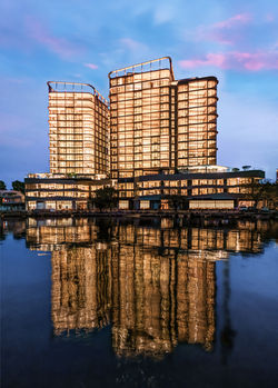
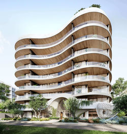
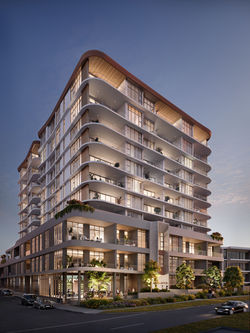
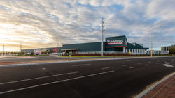
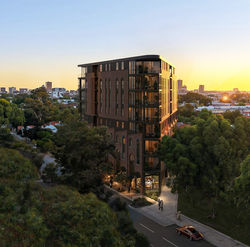
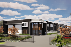
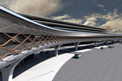
Our Projects
 |  |  |
|---|---|---|
 |  |  |
 |  |  |
 |  |  |
 |  |  |
 |  |  |
 |  |  |
 |  |  |
 |  |